Another quick update on a Scottish cycle route, before I post my conclusions about them. This is the Caledonia Way, NCN78, a 350km route from Campbeltown and the Mull of Kintyre up the Argyll coast to Oban, alongside the sea lochs to Fort William, and up the Great Glen to Inverness. The Caledonia Way is being developed primarily to be a great all abilities tourist trail (though with uses as a serious local transport route), linking some great Highland landscape to the railway towns via a relatively flat route.
The intention is for the route to be on dedicated cycle paths and tracks throughout, except a few short sections where existing suitable very quiet lanes and streets exist. This is, of course, a similar aspiration to that of the National Cycle Network, but one that sadly hasn’t always worked out quite as intended.
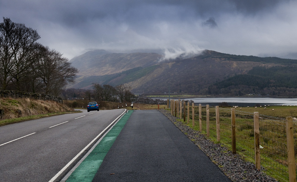
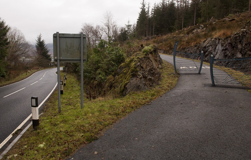
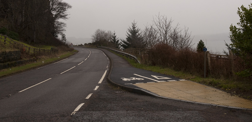
But the Oban to Glencoe section shows how the Caledonia Way is doing. Here, the cycle route runs alongside sea lochs, going the same way as the A828, a non-trunk primary route which is not very busy but is in many places engineered for very high speeds. Over the past few years the road has been acquiring cycle tracks. The organisations involved have not compromised on acquiring the amount of land that is required to build something on which you can pass, overtake and ride three-abreast:

Nor do they seem to have compromised on building all of the foundations, drainage and other structures that the route needs:


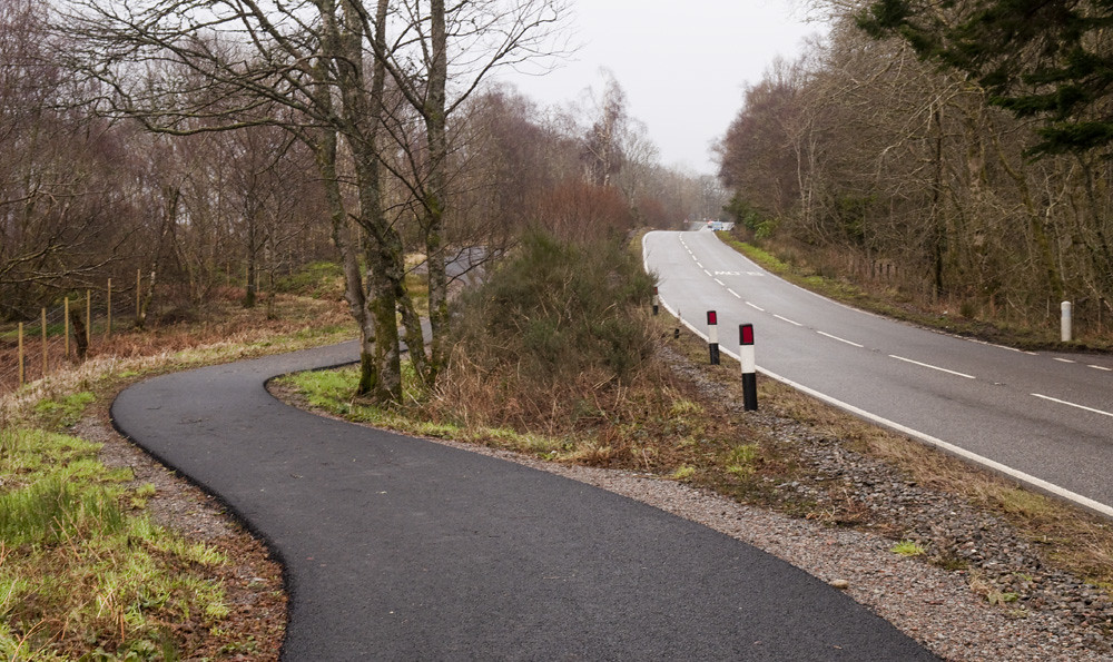
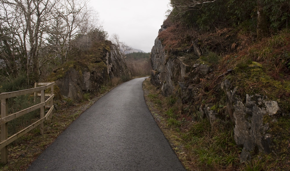
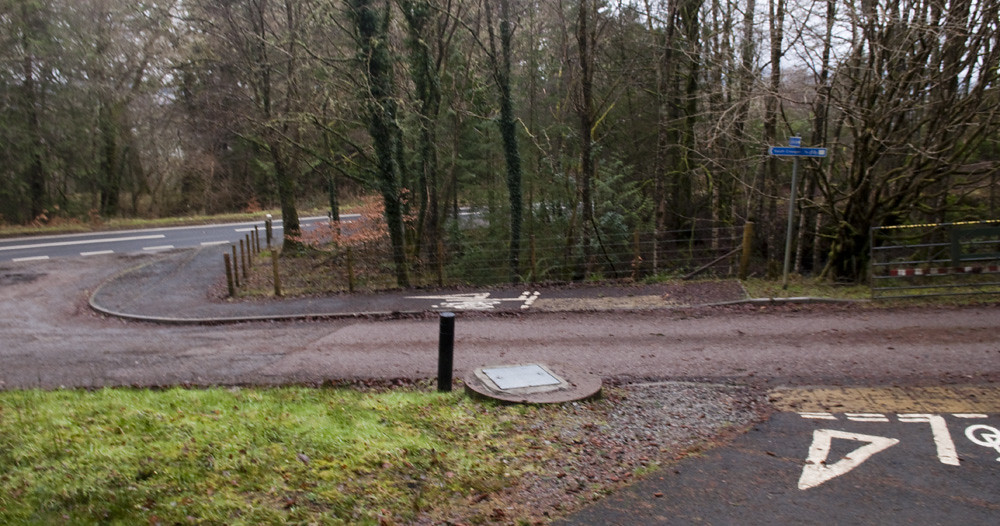
Here, where the road went into an existing wood, the path has been threaded further back from the road, hiding the traffic a little…

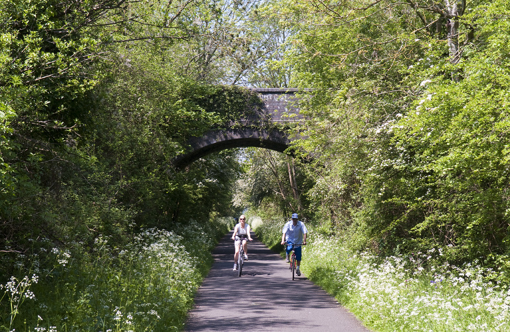
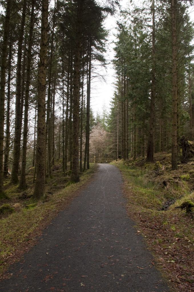
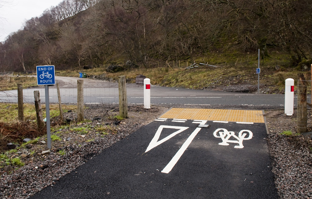
…but for much of the route cyclists don’t have to follow the road at all. The old Oban to Ballachulish railway also ran along here, and the cycle route has taken over the trackbed for several miles in a couple of different places:

Sometimes it doesn’t follow road or railway, but takes its own paths of least resistance:


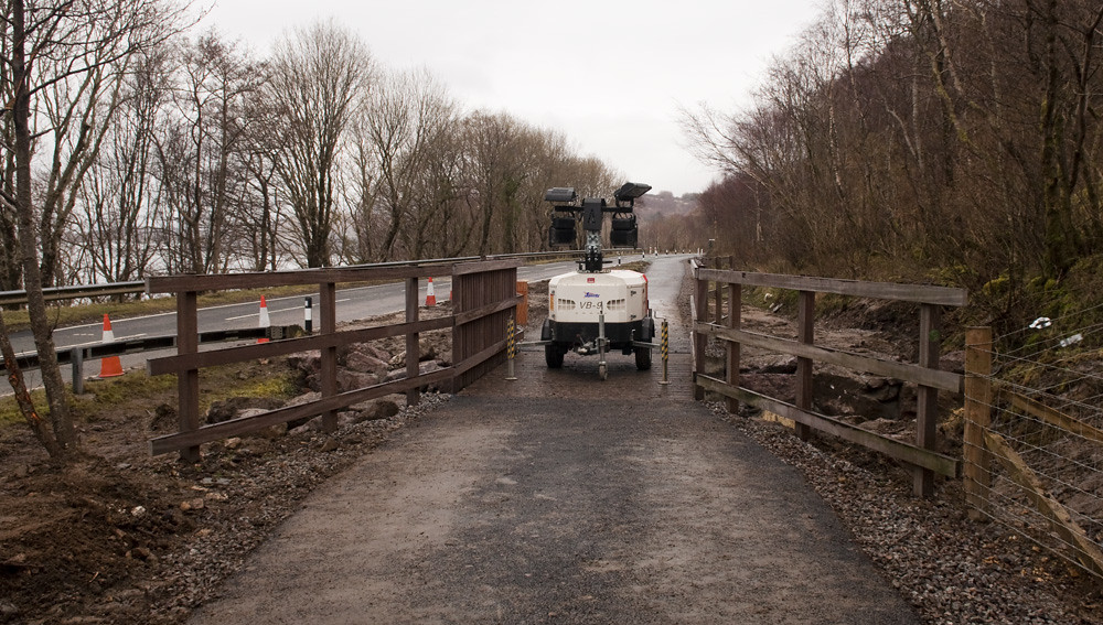
There are a couple of places where the cycle tracks briefly get nasty. But the designers have at least proved that they understand what “minimum standard” means: the bare minimum which can be acceptable for those few yards where the expense of engineering out the geography would be unreasonable, not the sustained standard at which to build the whole route.
Sadly there have been a couple of really embarrassing prioritisation decisions, involving a (disused?) gated quarry road and one really very unfortunate little mess at a driveway (I’m hoping that this mess, which is next to the pinch-point above left and is only a short section of poor quality tracks between good quality railway paths, is just an interim link before something better can be done using the railway).
But, on the new tracks and paths, those are the most notable issues in the 50kms between Oban and Glencoe. That is, on the new tracks. There are some at the Oban end that are several years older, and are your typical 2.0m pavement construction. I hope it’s not too late for those to be revisited by the new designers, who clearly have a better idea what they’re doing…

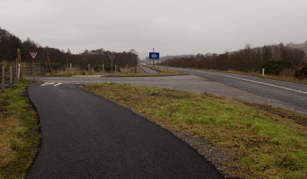
But it’s not too late for everything to go wrong. Only a little over two thirds of the tracks and paths to bypass the A828 have been built so far, often leaving you back on the main road:
Though Irish Navvies (no really, the contractor’s trucks had IRL plates) are out there right now building more of it (and the progress since I rode it in the spring almost two years is immense):

And Oban to Glencoe is so far the only section of the Caledonia Way to have been built. Which brings me to my point — or will, when I get around to posting it.